Field notes: two neighboring concessions, one spur road, one permit
A colleague who audits concessions along a shared ridgeline told me about this one a few weeks back, and it's stuck with me since.
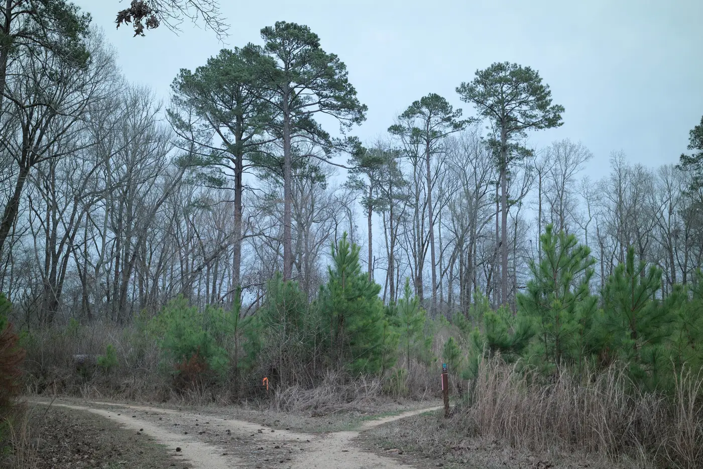
Two operators, same slope, opposite sides of the boundary line. Within about three weeks of each other, both pushed in a spur road off an existing haul route, both heading toward a similar mid-slope stand, both cut by what looked like the same size of dozer. If you laid the two tracks side by side on a screen you'd be hard pressed to say which belonged to which operation. Same width, similar switchback pattern working around a drainage, comparable rough grade.
One had a harvest permit on file that covered that exact block, dated two months before ground broke. The other didn't, at least not yet, not for that coordinate. The operator's story was that the permit was "in process" and the road was "pre-positioning for next season's coupe," which is a phrase auditors hear often enough that it's practically a season of its own.
What makes this worth writing down isn't the violation. Unpermitted access happens, gets caught, gets fined or doesn't, and the story ends the way these stories usually end. What's interesting is how little daylight there was between the two roads at the point where anyone looking at canopy loss alone would've noticed anything. Neither one had cleared a single hectare yet. Both scars were maybe four meters wide, dirt, no stems down. A canopy-change alert tuned to actual clearing wouldn't have flagged either site for another month, maybe six weeks, by which point the illegal one would have a skid network radiating off it and a landing cleared at the bottom.
The permit record was the only thing that separated them. And permit records, as every certifier reading this already knows, lag. They get filed late, filed wrong, filed for the wrong polygon, or filed correctly but not entered into whatever system the auditor happens to be cross-referencing that week. The real tell was that the road existed at all, on a day when only one of the two concessions had any business putting a dozer on that slope.
This is the part of the job that doesn't show up in the annual report. Nobody writes a line item for "new linear feature, unclear provenance, worth a call to the concession manager." But that's where a lot of the actual enforcement happens, in the gap between a track appearing and anyone deciding whether it should be there. The operator who was in the wrong knew this too. The plan, as best anyone could reconstruct it, was to get the spur built and a chunk of the block harvested before a routine audit cycle came around, then sort out the paperwork retroactively if it ever came up.
It didn't quite work, but only because someone happened to be looking at that stretch of ridge at the right time. Most stretches of most concession boundaries don't get that kind of attention between scheduled visits. That's really the whole problem with waiting for canopy loss as your trigger: by the time it registers, the road's already done its job.
If part of your job is catching this kind of thing before the second operator finishes what they started without a permit, Logging Road Detection runs a monthly pass built around exactly that signal, new track segments, flagged early, routed to whoever's watching the boundary. Worth a look before your next audit cycle comes around.