Blog
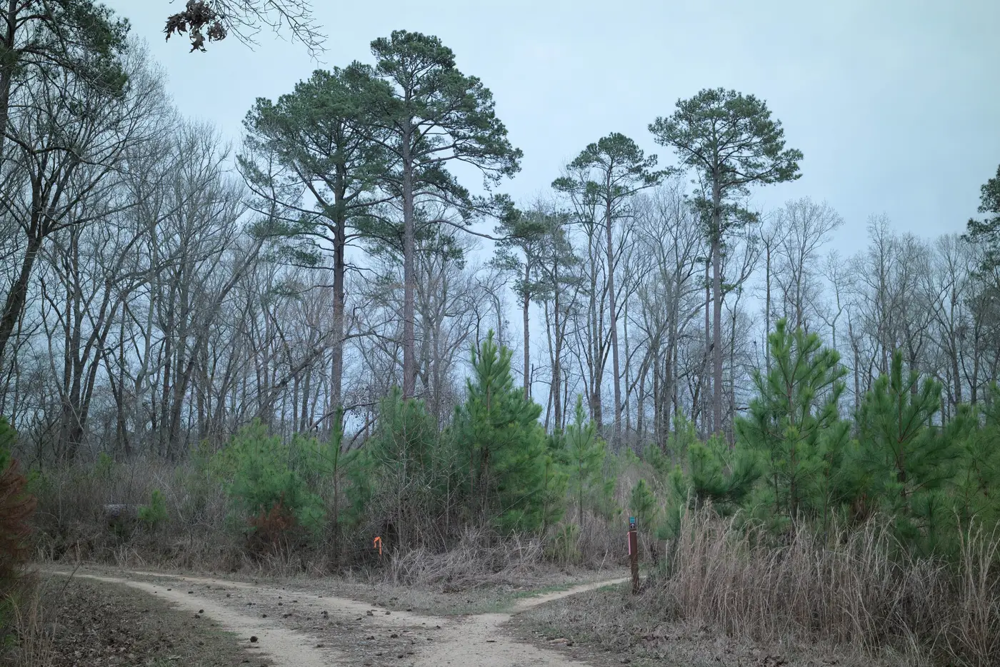 Field notes: two neighboring concessions, one spur road, one permit
A field note on two adjoining concessions that pushed in the same spur road the same month, and why only the permit file told them apart.
 What a corrective action request is, and how a new road finding feeds one
How an FSC or PEFC corrective action request gets raised, and why a new logging road or skid trail outside the plan is common grounds for one.
 How to size a monitoring polygon around a certified forest management unit
A practical guide to drawing the monitoring polygon around an FMU boundary, how much buffer to add, and why the concession line alone misses new access.
- What is a surveillance audit, and where does a monthly road alert fit?
What a surveillance audit covers in an FSC certification cycle, and why a monthly scan for new logging roads closes the gap between annual visits.
- Field notes: the week we stopped counting forks and started reading them
A field note on why a road fork's angle and taper tell an auditor more than a tally of new track segments ever will.
 What is road density, and why do certification standards cap it
What road density means in forest certification, why FSC and RIL standards cap it, and why the gap between audits is where overruns happen.
 How to verify a logging permit boundary against satellite imagery
A field method for checking a harvest permit boundary against satellite imagery, before clearing shows the violation has already happened.
- Chain of custody audits: where new road findings fit in
What a chain of custody audit checks, and why a new access road inside a certified tract matters before clearing ever shows up.
- Field notes: the spur road that showed up before the complaint did
A short field-notes piece on how a single skid trail segment, caught early, beats chasing a clearing complaint three weeks after the fact.
- Fire break or logging road? How to read the scar correctly
A field guide to telling fire breaks from logging roads and skid trails in satellite imagery, using width, branching and placement cues.
- Game trail or new logging road? Reading the difference in satellite imagery
Field auditors flag access roads from imagery constantly. Here's how to separate a wildlife trail from a new skid trail before you write it up.
- How to tell a seismic line from a logging road in satellite imagery
A field guide to telling seismic cutlines apart from logging roads and skid trails in high-res imagery, for certifiers and audit teams.
- Documenting a logging road finding for an FSC non-conformance report
How to capture and write up a new logging road or skid trail finding so it holds up as evidence in an FSC CAR.
- What is a controlled wood risk assessment, and why access roads matter
A field guide to FSC controlled wood risk assessment, the unspecified sources category, and why new access roads are the earliest signal auditors get.
- Culvert or ford? Telling stream crossings apart in satellite imagery
How to distinguish culvert crossings from ford crossings in high-res imagery, and what each tells you about BMP compliance and permit status.
- Decommissioned road or active logging road: how to tell them apart in satellite imagery
How auditors tell a reclaimed logging road from one being reopened, using tread width, regrowth pattern, and drainage features in imagery.
- How long before a new logging road shows up in satellite imagery?
Detection lag for new logging roads depends on revisit cadence and GSD, not just coverage. Here's what drives the gap, and how far a monthly scan closes it.
- What counts as an unpermitted access road in a forest certification audit
A field guide to when a new track trips FSC or PEFC non-conformance, how it differs from legal skid trails, and what a CAR actually needs.