Field notes: the spur road that showed up before the complaint did
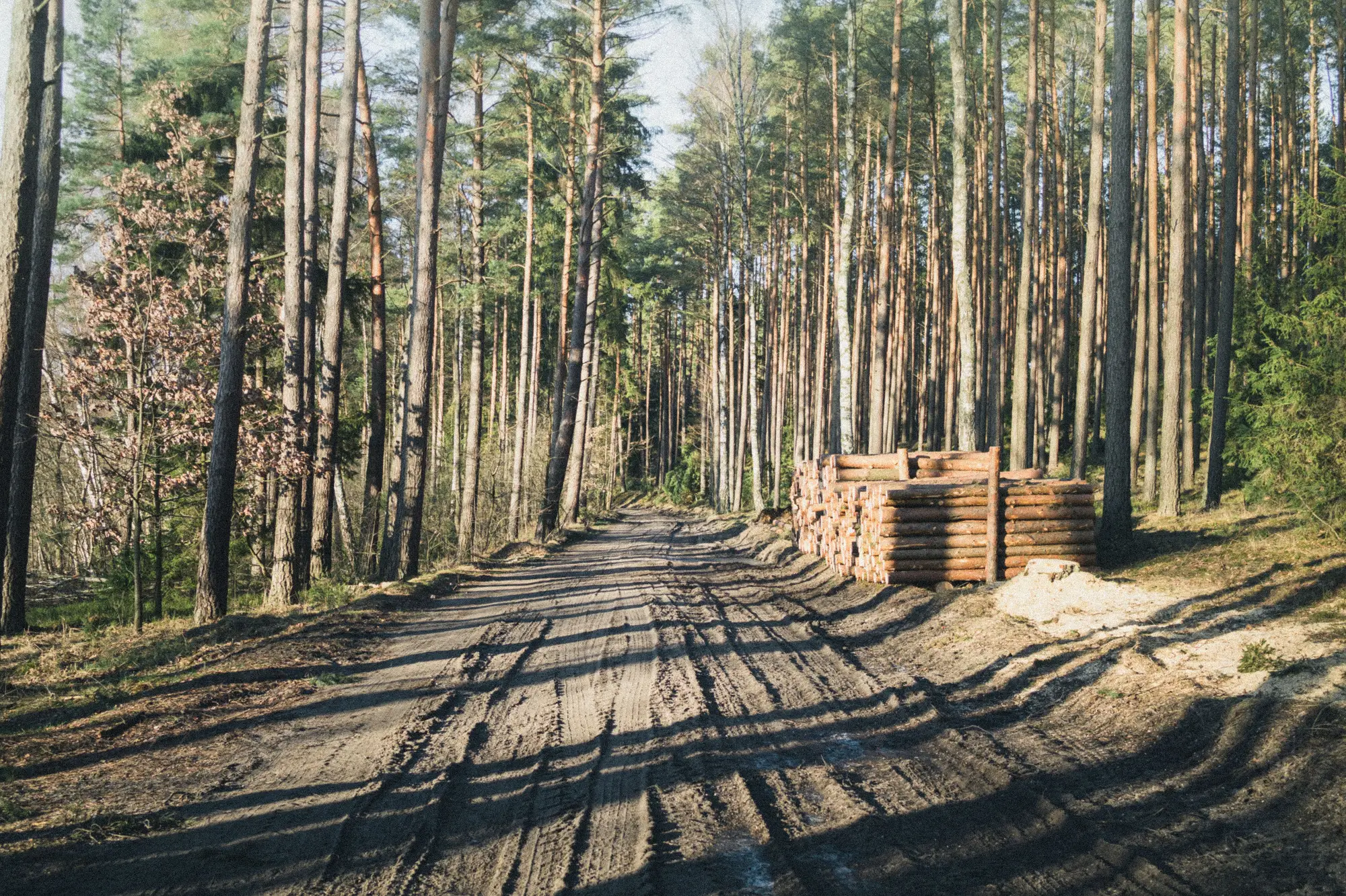
The complaint came in on a Tuesday. A landowner two parcels over had noticed trucks running a road that wasn't on anyone's harvest plan, and by the time it reached a desk, the clearing was already four hectares along. That's the usual sequence: someone sees or hears something, files a report, and an auditor drives out to find a job that's been running for weeks. The paperwork catches up to the ground, never the other way around.
This one went differently, and it's worth writing down why.
A spur road had branched off an existing haul route about ten days before the complaint, a single track maybe 120 meters long, the kind of thing that reads as a faint scratch on imagery and nothing at all from a truck cab. No canopy had come down yet. No stacked logs, no landing cleared, nothing a neighbor would notice from the county road. Just a new line in the brush where there hadn't been one the month before.
That's the part that gets missed in most enforcement workflows, and it's not because anyone's careless. It's because the whole system is tuned to detect clearing, and clearing is the last thing that happens, not the first. The road gets cut. The skid trails branch off it to reach the stems.
The landing gets cleared to stage the logs. Only then does canopy loss show up in whatever imagery or alert system a program is already running. By the time a change-detection tool flags bare ground, the crew's been working the site for a month, sometimes longer, and the question shifts from "is this permitted" to "how much has already come out."
Roads are the tell. They're the infrastructure a logging operation has to build before it can touch a single tree, and they don't disappear once the job's done the way a slash pile eventually does. A new track into a monitoring area, especially one that doesn't connect to a permitted haul plan, is about as close to a leading indicator as this work gets. The problem has always been that nobody's watching for the road itself. Everyone's watching for the hole in the canopy, which means everyone's a month behind.
In this case, the segment got flagged against the base layer before a single stem came down. An analyst could cross-reference it against the permit boundary, confirm it didn't match any filed harvest plan, and have a field team look at it with enough lead time to actually matter, before the landing was cleared, before the first load left. The complaint that eventually came in from the neighboring landowner was, by then, redundant. The file was already open.
That's the shift worth paying attention to here: a routine scan built around the road itself, the thing that happens weeks before clearing does. A track that wasn't there last month and isn't on any plan this month is the kind of signal that turns a reactive file into a preventive one. A monthly pass built specifically to catch that new track before the canopy loss does changes what the first document in the case file looks like. Instead of a neighbor's complaint and a drive-out three weeks too late, it's a flagged segment and a question for the operator, asked while there's still time for the answer to matter.
Most enforcement work is reconstruction. This is one of the few places where it doesn't have to be. If your monitoring area has more road network than you can walk or fly every month, it might be worth seeing what Logging Road Detection flags on the next pass.