Field notes: the week we stopped counting forks and started reading them
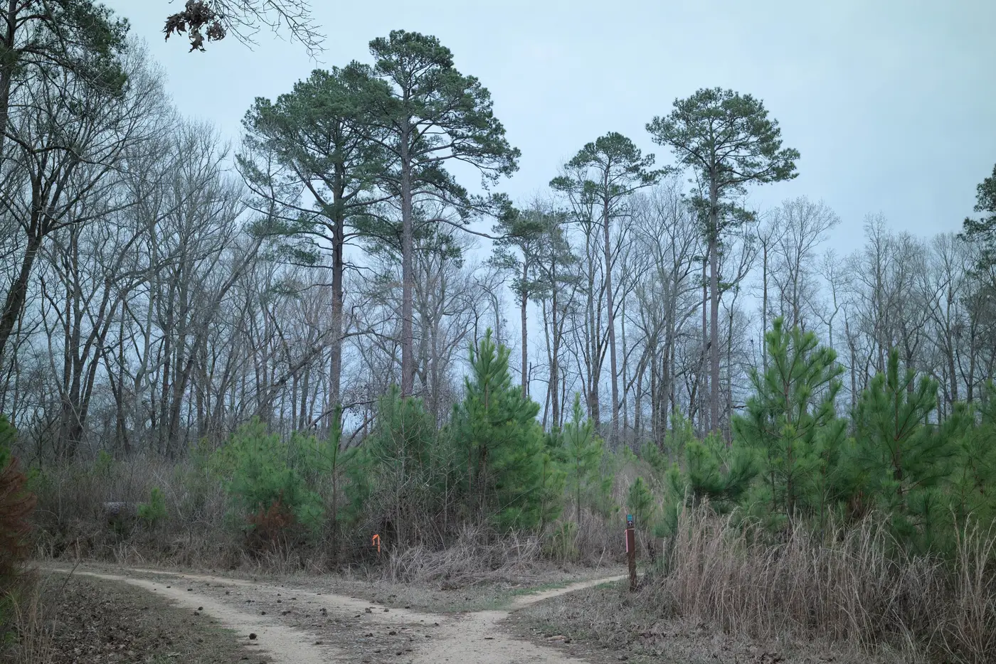
For most of a season, our review process treated every new line in the imagery the same way. A segment showed up, we logged it, we moved to the next one. Length, bearing, rough date range. Tidy spreadsheet, useless for anything but a count.
Then came a week on a tract along the eastern boundary of a monitoring block we'd been watching since spring. Three new segments appeared in the same pass. Two of them we logged and filed without much thought. The third stopped the review cold, because it wasn't really one segment. It was a fork, and the fork was doing something the first two weren't.
The main track came off an existing haul road at a shallow angle, maybe fifteen degrees, and held its width for a few hundred meters before splitting. One branch kept the width and kept climbing along the contour, the kind of grade you'd cut if you meant to come back with a loader. The other branch dropped off sharply, narrowed by a third within fifty meters, and dead-ended at a bench cut into the slope. No landing, no turnaround worth the name.
We'd have logged both as "new track, 0.4 km combined" and left it there under the old method. What the fork told us was two different operations stacked on one access point: a road meant to stay, and a trail meant to pull one load and disappear. The dead-end spur read like a single skid for timber already on the ground, maybe a boundary test to see if anyone was watching. The main branch was infrastructure. Somebody was planning to use it more than once.
That distinction decided which tract got a watch flag and which got a site visit before the week was out. A tract with a spur that tapers and dies gets a note and a watch flag. A tract with a wide branch holding grade toward an unpermitted boundary gets a site visit this week, not next month. Same linear footage, opposite urgency, and the spreadsheet couldn't tell us which was which until we looked at the junction itself.
Once you start reading forks instead of counting them, you notice the vocabulary repeats. A herringbone pattern, short spurs feathering off a trunk at regular intervals, usually means a harvest crew working a block systematically, pulling as they go. A single trunk with one late, wide branch headed somewhere the permit doesn't cover reads differently: that's access being extended, not harvest being conducted. The angle of the split, the width after it, whether the new branch holds grade or hugs a drainage, all of that is information the imagery is already giving you. The old count just threw it away.
We've started training new reviewers to describe every fork before they log it. Not "new segment, 220 m," but "spur off existing road, narrows past the split, consistent with a single pull." It slows the first pass down. It speeds up everything after, because the follow-up list arrives already sorted by what the geometry is actually telling you, not just by where lines appeared.
This is the kind of read a monthly imagery pass is built for, catching the trail before the clearing it's feeding ever registers on a canopy-loss report. If your monitoring area is large enough that nobody's eyeballing every junction by hand, Logging Road Detection routes the new track segments to you so a reviewer can spend their time on the fork, not the search for it.
Next time a new line shows up on your pass, follow it to where it splits before you write it down.