Documenting a logging road finding for an FSC non-conformance report
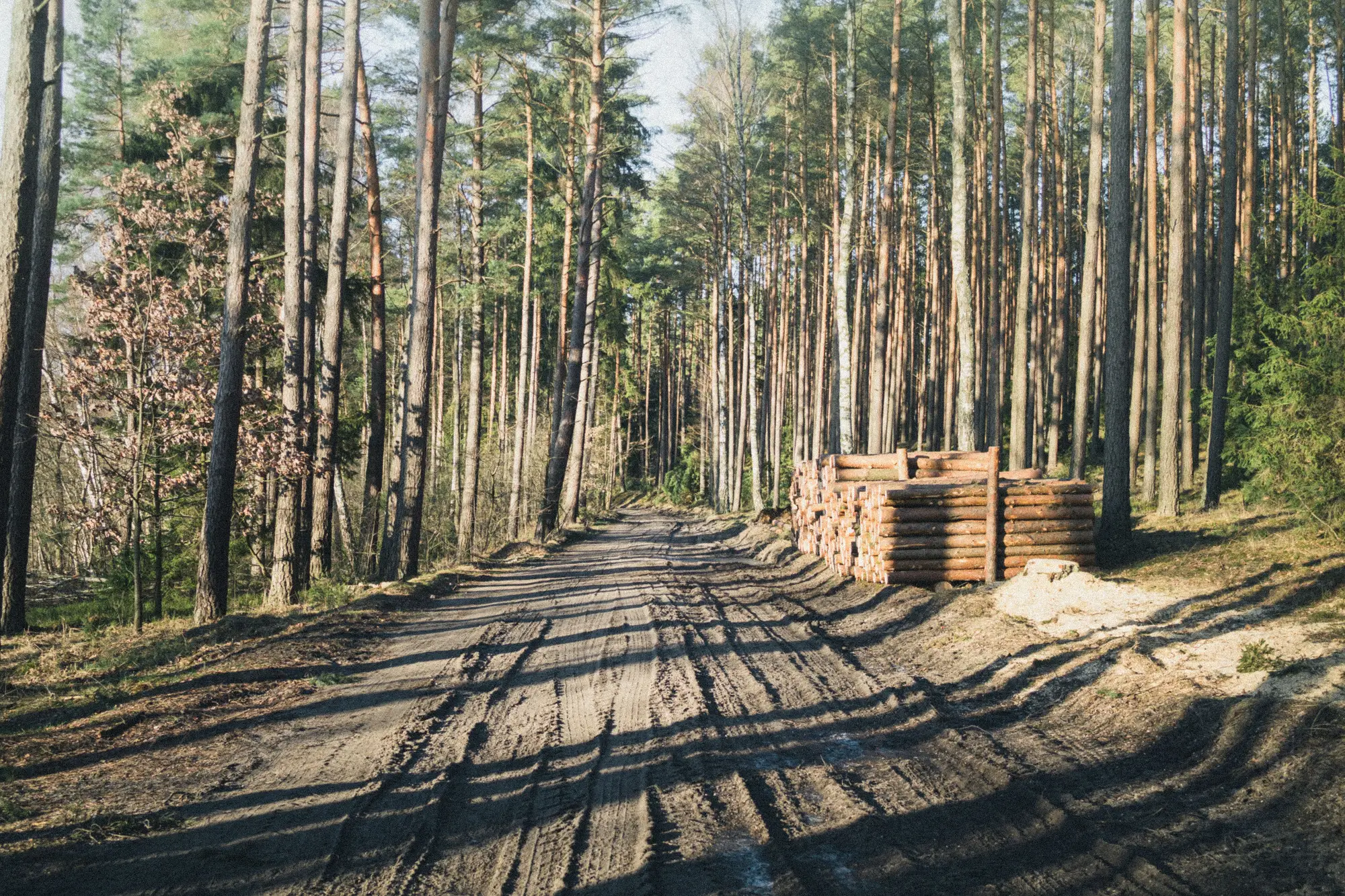
A new track showing up inside a management unit is one of the more common findings auditors run into, and one of the more poorly documented. The road itself is easy to see. What trips people up is turning "there's a road here that shouldn't be" into a non-conformance write-up that survives review, doesn't get kicked back for more evidence, and actually triggers a corrective action the certificate holder has to answer.
Here's what a tight finding needs, and what gets left out when it isn't.
What to capture at the time of the finding
Start with the location. The CAR needs a coordinate pair tied to the specific segment, precise enough to replace "near the eastern boundary" with a point someone else could walk to from your notes. If the track crosses a compartment line or runs outside the approved harvest plan boundary, note both sides of that line separately, because the certificate holder's response will often hinge on exactly where the road sits relative to the approved area.
Photograph the track from more than one angle: along its length, across the running surface, and at the point where it meets an existing road or skid trail. If there's a berm, culvert, or fresh cut bank, get that too. Include something in frame for scale when you can, a boot, a hard hat, a clipboard, since "approximately 3 meters wide" reads a lot better in a CAR when there's a photo backing it up.
Date everything: your visit date, and your best estimate of when the track was cut, based on vegetation regrowth, soil compaction, tire rutting, or the condition of any cut vegetation at the edges. If you have a prior monitoring record, aerial pass, or imagery date showing the area clear, that becomes the anchor for your timeline. A CAR that says "new access observed, timeframe unknown" is weaker than one that says "clear as of [date], present as of [date]."
Writing the CAR itself
The non-conformance statement should separate three things that auditors often blur together: the observation, the requirement it fails against, and the evidence.
The observation is factual and narrow: a logging road or skid trail segment of a given length and location that falls outside the approved harvest plan, observed on a given date. Save the interpretation for the next part.
The requirement is the standard clause the finding fails against, usually something under Principle 6 or the applicable Controlled Wood risk assessment, depending on what's being certified. Cite the specific indicator your certification body uses, since a vague requirement citation is one of the fastest ways to get a CAR disputed back at you.
The evidence is the coordinate, the photos, the date estimate, and if you have it, a prior record showing the area was clear. List these as discrete items rather than folding them into a paragraph. Reviewers and certificate holders both move faster through a bulleted evidence list than a narrative.
Close the CAR with a correction timeframe that matches the category, minor or major, and be specific about what closing it requires: a map showing the track relative to the plan boundary, confirmation of who built it and under what authority, or a rehabilitation plan if the access wasn't authorized. Vague close-out language ("certificate holder to investigate") gets kicked back by review panels almost as often as vague findings do.
Where the timeline gap usually bites
Most of the disputes that come back on these CARs aren't about whether the road exists. They're about when it appeared, and whether the certificate holder can plausibly claim it predates the monitoring period or was already disclosed. That's a timeline argument, and a field visit alone only gives you one point on it: now.
If your monitoring area gets a routed list of new track segments as they appear, you're building that timeline before the dispute starts rather than reconstructing it after. That's the gap Logging Road Detection is built to close, flagging new road and skid trail segments monthly so the "when did this appear" question already has an answer by the time you're writing the CAR.
If you're routinely stuck estimating cut dates from regrowth and rutting alone, it's worth looking at what a standing monthly scan of your monitoring area would have told you instead.