Game trail or new logging road? Reading the difference in satellite imagery
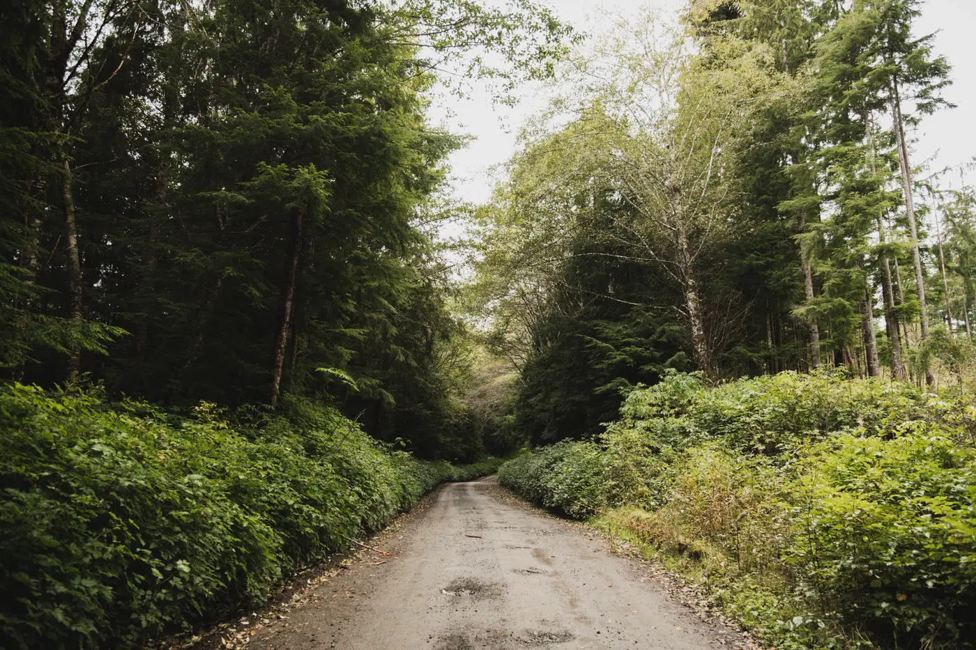
Anyone who's reviewed a monitoring area long enough has flagged a game trail as a new access road at least once. The two can look almost identical at a glance, especially on a tablet in the field or on a low-contrast scene with heavy shadow. The difference matters because a false positive costs you a site visit, and a missed one means clearing started weeks before anyone noticed.
Geometry gives it away before anything else
Animals don't build roads. They find the easiest line between water, browse, and bedding cover, and that line follows the terrain. A game trail tends to hug a contour, bend around deadfall, and narrow or widen depending on how many animals are using it that season. It rarely holds a consistent width for more than a short stretch, and it almost never shows a straight run of more than fifty or sixty meters.
A new logging road or skid trail is built, not worn in. It's cut to move equipment, so it holds a working width for its whole length, it cuts across contour lines where a game trail would follow them, and it has a destination: a landing, a ridge with merchantable timber, or a tie-in to an existing haul road. If you trace the line and it just fades into brush with no logical endpoint, you're probably looking at wildlife movement. If it connects two points that make sense for equipment access, that's your tell.
Surface disturbance is the other half of it. A well-used game trail compacts vegetation but doesn't expose soil in any consistent band. A skid trail shows bare mineral soil or crushed slash along its length, which reads differently in RGB than the surrounding understory even under partial canopy. At 0.5 m resolution that soil signature is usually visible where the canopy gap allows a look at the ground at all. Under full crown closure you won't see either one clearly, and that's a legitimate limit worth flagging in your own notes rather than guessing.
What changes between one scan and the next
This is where a single still image will mislead you and a repeat pass won't. A game trail is stable. Scan the same stretch of forest a month later and the line is in the same place, roughly the same width, going nowhere new. A new access road does the opposite. It extends. A segment that was 80 meters long last month is 200 meters long this month, usually pushing toward a stand that hasn't been touched yet.
That's the pattern worth building a habit around: don't judge a single segment on its own, judge it against what was there last time you looked. If a track is new to the scene entirely, even a short stub, it earns a closer look regardless of how trail-like it appears, because skid trails start as short stubs off an existing road before they extend into the block. If a track has been sitting unchanged for several cycles with no extension and no soil signature, it's very likely just animals using the ground the way they always have.
When it's still not clear
Some segments won't resolve cleanly from either geometry or soil signature alone, particularly in mixed terrain with a lot of existing deer or elk sign crossing old skid trails from a previous entry. In those cases the honest move is to mark it for a field check rather than call it either way from the desk. A false call in either direction costs you credibility with the operator or the certifying body, and it's not worth guessing past what the imagery actually supports.
That's the gap a routed, repeat monthly pass is built to close. Logging Road Detection tracks new track segments over a monitoring area scan to scan, so an extending stub shows up as new before it turns into a load of cut timber, instead of getting lost in a single snapshot you're reading cold.
If you're spending more time second-guessing trail lines than you'd like, it might be worth seeing what a monthly routed list over your own monitoring area looks like.