What is a controlled wood risk assessment, and why access roads matter
A controlled wood risk assessment is the process an organization (a certification body, a company sourcing under FSC Controlled Wood, or a national working group) uses to decide whether timber coming out of a given area carries an unacceptable chance of being illegal, conflict-sourced, or harvested in a way that violates traditional rights or high conservation value protections. The output is a category assigned to a region, a concession, or sometimes a single management unit: low risk, specified risk, or the catch-all that trips up a lot of supply chains, unspecified sources.
Unspecified sources simply marks an administrative gap: nobody has done the assessment yet, or the assessment on file has gone stale. Under FSC-STD-40-005, material from an unspecified source gets treated the same as specified risk until someone closes the gap, meaning it can't go into FSC Mix product without additional controls. That single administrative fact drives a lot of fieldwork: company risk assessors and the auditors who review them spend real time just figuring out which areas on a sourcing map still sit in that unresolved bucket.
What the risk categories track
Each FSC category maps back to five indicators: illegal harvest, harvest that violates civil or traditional rights, harvest in high conservation value forests without safeguards, conversion of natural forest to plantation or other land use, and genetically modified trees. A regional risk assessment walks through each indicator and assigns a rating. Get a low rating across the board and the area is cleared for controlled wood sourcing without extra verification at the point of harvest. Get flagged on any indicator and the region sits at specified risk, which means every supplier pulling from it needs its own control measures, documentation, or a site-specific assessment before the wood can move.
The categories are reviewed periodically, not continuously. A national risk assessment might get revisited every few years. In between reviews, ground conditions change faster than the paperwork. That's the gap that matters for anyone doing enforcement work.
Why new access roads are the leading indicator
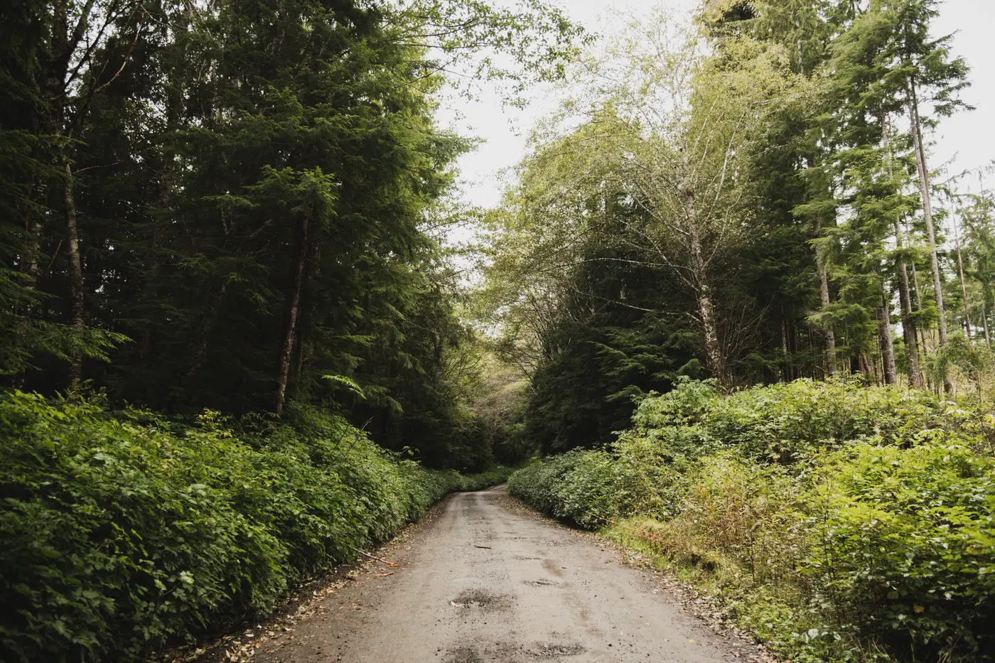
Illegal harvest doesn't start with a chainsaw. It starts with a road. A skid trail or a logging spur gets pushed into forest that wasn't previously accessible, and that track sits on the ground for weeks before any canopy comes down. By the time a clearing shows up on a standard forest-loss alert, the access that made it possible has usually been there long enough that whoever built it has already moved equipment and crews in.
For a field auditor working a specified-risk area, or an enforcement analyst trying to keep a low-risk region from sliding into unspecified status because conditions on the ground changed, that road is the thing worth watching. A new branching track inside a monitoring boundary, especially one that doesn't connect to a permitted operation on file, is the earliest hard evidence that something is moving into territory it shouldn't. Catching it at the road stage means a response is still possible before the stand is gone and the only remaining question is how much was taken.
Most monitoring built for this space watches for canopy loss, which is the output of the activity, not the precursor to it. A monthly scan built around new logging roads and skid trails works from the other end: it flags the linear scars themselves, routed over a defined monitoring area, so an auditor sees new access before the clearing it enables ever registers on a standard alert.
If part of your risk assessment workflow depends on knowing when access changes inside a region you're responsible for, it's worth looking at what that kind of monthly road scan turns up on your ground.