What is road density, and why do certification standards cap it
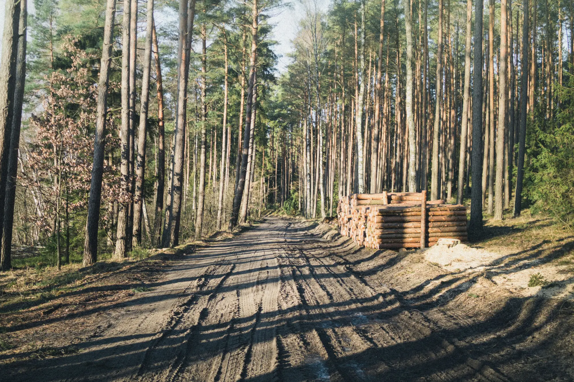
Road density is one of those terms that shows up in every reduced-impact logging manual and most forest certification standards, but rarely gets explained past the formula. Here's what it measures, why certifiers care, and why catching it after the fact is the hard part.
What road density measures
Road density is the total length of roads within a given area, usually written as kilometers per hectare (km/ha) or meters per hectare (m/ha). You take every linear meter of road, haul road, branch road, and skid trail inside a forest management unit, add it up, and divide by the unit's area.
A low number means a concession is moving timber with a lean network, mostly along ridgelines and existing grades, minimizing new ground disturbance. A high number means the operator cut a lot of new track to reach the timber, which usually means more soil compaction, more stream crossings, more erosion, and more fragmented habitat than the harvest itself would suggest.
Skid trails get counted separately in a lot of RIL guidelines because they do different damage than haul roads. A haul road is built once and used for years. Skid trails get cut fresh for nearly every harvest block, so their density tracks much more closely with how carefully a crew is working, not just how the concession was laid out a decade ago.
Why certification standards cap it
FSC's generic indicators under Principle 6 and 10 require operators to minimize the extent of roads and the amount of bare ground, but the hard numbers, the km/ha ceiling, usually live in national or regional FSC standards and in reduced-impact logging guidelines rather than one global figure. Indonesia's RIL guidance, for instance, has long targeted total road density in the low double digits of meters per hectare, split between main roads and skid trails, with skid trails doing most of the damage per meter built.
The logic behind a cap isn't abstract. Road and skid trail networks compact and expose soil well beyond the footprint of the trees removed. They concentrate runoff, which is what turns a modest rain event into a gullied slope two seasons later. They open the forest interior to hunters, encroachers, and, often enough, the next round of unpermitted clearing. A certifier auditing a concession checks the access network against what the management plan committed to, not just the volume of trees cut.
That's the part that makes road density a useful audit metric and a frustrating one at the same time. It's a clean number on paper. Getting an accurate, current measurement of it across a few thousand hectares between annual field visits is a different problem entirely.
Why the gap between audits is where density caps get blown
A concession can file a management plan with a road density target, pass the baseline audit clean, and then push a few kilometers of new skid trail into an unmapped drainage eight months before the next field visit. Nobody caught it because nobody was looking at that stretch of forest in month five. By the time an auditor walks the block or reviews the next satellite pass showing canopy loss, the trail's already there, the soil's already moved, and the density figure in the file is already wrong.
That's the window a monthly scan is built for. New track, a skid trail branching off an existing haul road, a spur pushed toward an unlogged stand, shows up as a thin linear scar in high-resolution imagery weeks before the clearing around it would register as canopy loss. Flagging those segments as they appear, rather than reconstructing them from a cut block months later, is the whole point of a routed list of new track segments over a monitoring area. An auditor working from that list confirms or disputes specific segments that already carry a date stamp, instead of recalculating road density from scratch at the annual visit.
If your monitoring area has concessions due for a density check before the next scheduled visit, it's worth seeing what a monthly pass over that ground turns up.